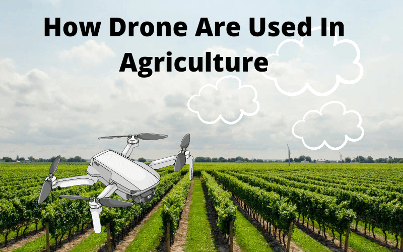
The progression of drone technology has seen many starting to emerge use cases such as the expanding use of drones in agriculture. Drones are no longer merely toys for kids. Farmers now have new chances to boost agricultural yields, reduce crop losses, and maximise profitability thanks to the availability of image sensors. Instead of personally assessing their crops on foot, farmers are now employing technology once reserved for the military to monitor their harvests from the air. Drone crop imaging data provides a more comprehensive and accurate picture of crop health.
Drones can fly up to 400 feet above the ground without requiring special permission from the FAA. Higher resolution photos that are superior and less expensive than high altitude aircraft or satellite imaging can be obtained at this low altitude. Furthermore, the low altitude eliminates the cloud concerns that satellite photography must deal with.
Advancements in technology such as micro electro mechanical systems, smaller GPS modules, more advanced computing processors, and downsized digital radios have all contributed to the availability of low-cost, high-functioning drones. The use of cellphones, as well as the economies of scale of mass-produced parts, has aided in the evolution and accessibility of these components.
The autopilot, which regulates drone flight, is a vital feature that makes crop monitoring extremely valuable for farmers. Imaging software can integrate together aerial pictures into a mosaic map, and autopilot software can predetermine the flight route that will maximise coverage of the crop fields. The map that is developed is critical for enhancing crop performance and lowering costs. It identifies which sections of the crops require additional care. Farmers can spend less time surveying and more time treating their plants.
You May Also Like This:- Best Cheap Drones For Beginners
Drones Can Assist in a Variety of Situations
Due to the initial cost of a drone, some farmers are hesitant to use it for crop management. When you consider that a visible strolling inspection or aerial assessment costs on average $2 per acre, you can see how quickly a drone purchase pays for itself. This can generally be done in a single growing season, if not less. The data collected by the drone can subsequently be used to save operating costs and boost crop harvests.
Plant root structures must be examined for indicators of compaction, disease, and pests. Because soil erosion is always a concern, the width and depth of erosion channels must be measured. Finally, precise estimates of crop yields and population are required for resource management. These are the points that farmers should be aware of:
- Confirmation: Checking sure plants are developing at the expected rate on a regular basis.
- Early detection is critical for treating plant health issues, as it allows time to mitigate the effects and develop a solution.
- Fertilizer Planning: Crops rarely grow uniformly, and fertiliser is distrusted based on plant health, rather than being dispersed evenly and saving money.
Instead of utilising workers on foot or tractors, drones are now being utilised to distribute nutrients and pesticides to plants. Spraying from the air is significantly faster and less expensive than utilising traditional methods like tractors. Crop dusting drones have been in use in Japan for more than two decades, and they are now making their way to the United States.
Sensors for Drone Imaging
The amount of information that can be gleaned from the human visual spectrum pales in comparison to what imaging sensors can achieve. Drones can now deliver even more information than the human eye can see because of the availability of various camera sensors. The more sensors there are, the more information can be extracted from the captured images. There are the following sensors available:
- For plant counting, elevation modelling, and visual inspection, RGB (Red, Green, Blue) is used.
- For flood control, erosion analysis, plant counting, soil water analysis, and crop health, NIR (near infrared) is used.
- Plant Counting, Water Management, and Crop Health (Red Edge)
- Irrigation scheduling, plant physiology, and yield predictions with thermal infrared.
The Normalized Differential Vegetation Index (NDVI) depicts the difference between red and near-infrared light reflected by plants. Red light is absorbed by healthy leaves with an active photosynthesis process, while near infrared light is heavily reflected. Both wavelengths of light are reflected by dead or diseased leaves.
Agriculture’s Drone Challenges
While the idea of employing drones in agriculture sounds exciting, keep in mind that this is still a new technology with a number of obstacles to overcome.
Regulations
Drones with the correct sensors can currently assist a farmer in navigating to a point in his fields, observing it, and generating statistics about the health and status of his crops, but only on a small scale. All measurements and observations must be made using a drone that is within visual line of sight (VLOS) of the drone operator, according to current FAA regulations. The issue is that most farms in the United States are substantially larger than the VLOS distance. Multiple operations can be carried out in a single day, as well as the stitching together of a bigger map. This, however, comes at a cost in terms of both labour and time. Despite the obvious benefits of drones in agriculture, there is always a reluctance to spend money on anything other than necessities.
Time spent in operation
Drones must have an active pilot, both legally and for safety reasons. If something goes wrong, someone must be available. Even if a farmer sets up a drone to fly on autopilot, he won’t be able to leave it to take care of something else. Multitasking is not possible when using a drone in agriculture.
Drones in Agriculture: What the Future Holds
Because the value of American crops is in the hundreds of billions of dollars each year, even a little increase in yield will have a large economic impact. However, it is still unclear whether drones can give more useful information at a lower cost than conventional aircraft and satellite imaging.
The absence of knowledge to interpret the data, compare it to what is happening on the ground, and prescribe a correct plan of action to address crop difficulties is currently missing from the puzzle. There are services that supply imaging data, but extracting relevant information requires a significant investment of time, money, and software. Drones, on the other hand, are making more technological advances in agriculture than satellite or aircraft photography sources.
There are still some issues that need to be resolved. The process of creating calibrated photos that can be used to track cropping over time is still being researched. Different sun angles, as well as the effect of cloud cover, have an impact on image variability. Drone image calibration advancements will eventually address these technological issues and provide useful crop performance data.
Summary of Drones in Agriculture
Improving agricultural productivity is and will always be a critical issue for farmers. For the first time in decades, however, digital and technical breakthroughs allow farmers to significantly boost their productivity. It is critical for an individual farmer to be profitable on a small scale. On a worldwide scale, this is linked to the issue of feeding a growing global population. The issue of environmental impact, as well as the requirement to limit water waste, eliminate chemical runoff, and reduce carbon dioxide emissions, makes things even more challenging. In order to build sustainable farming practises, digital technology can help to address these issues.
To make their operations more productive, profitable, and efficient, all components of the agriculture system must embrace new digital technology. Large farms can use a variety of data to enhance the amount of food produced from the same amount of land. As a result, there’s a chance that your financial agriculture performance will increase, and you’ll make more money. Smaller farms can benefit from digital technologies to increase crop yields as well.